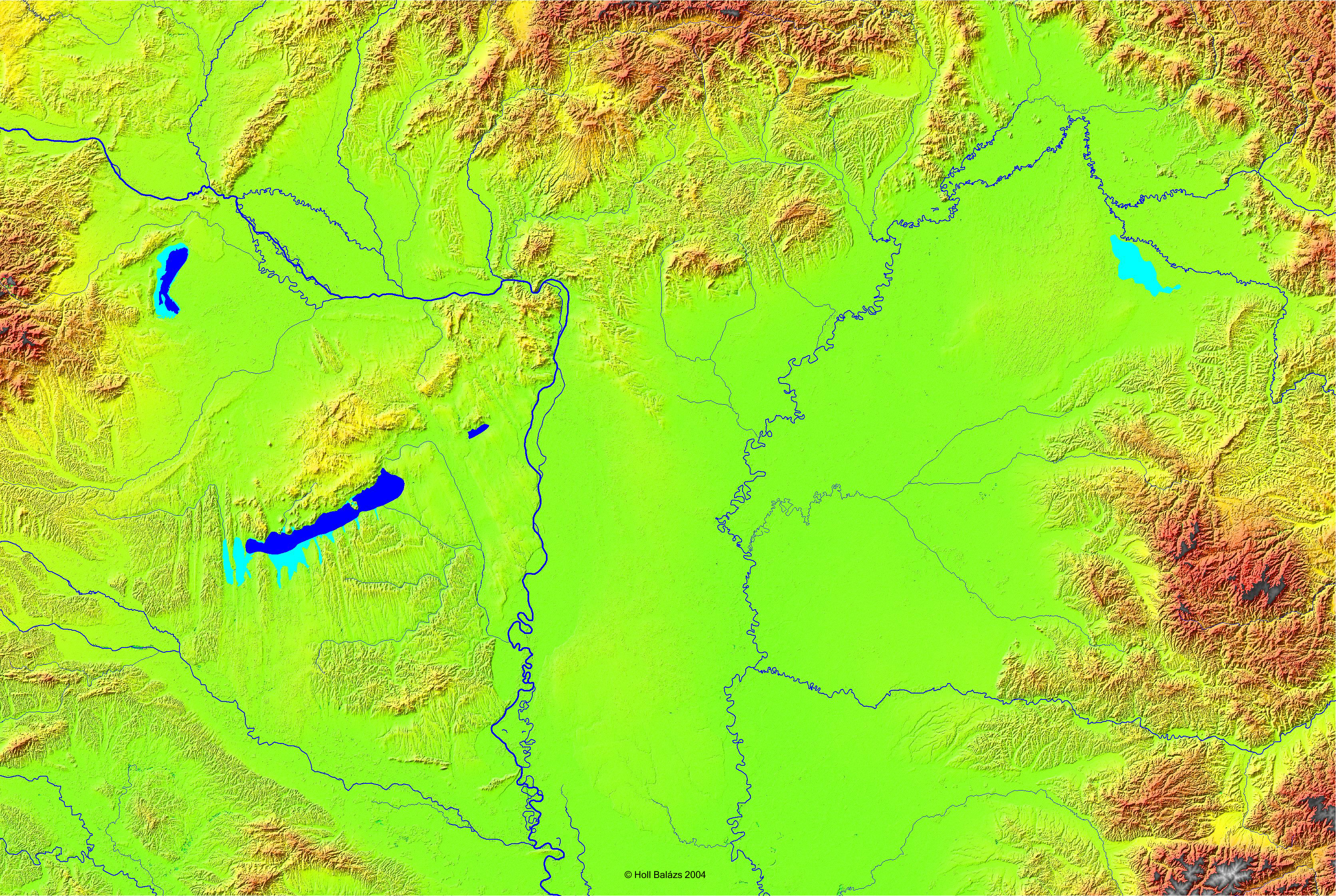
km1.jpg
click on the image to get/download full image (about 2 Mbyte)
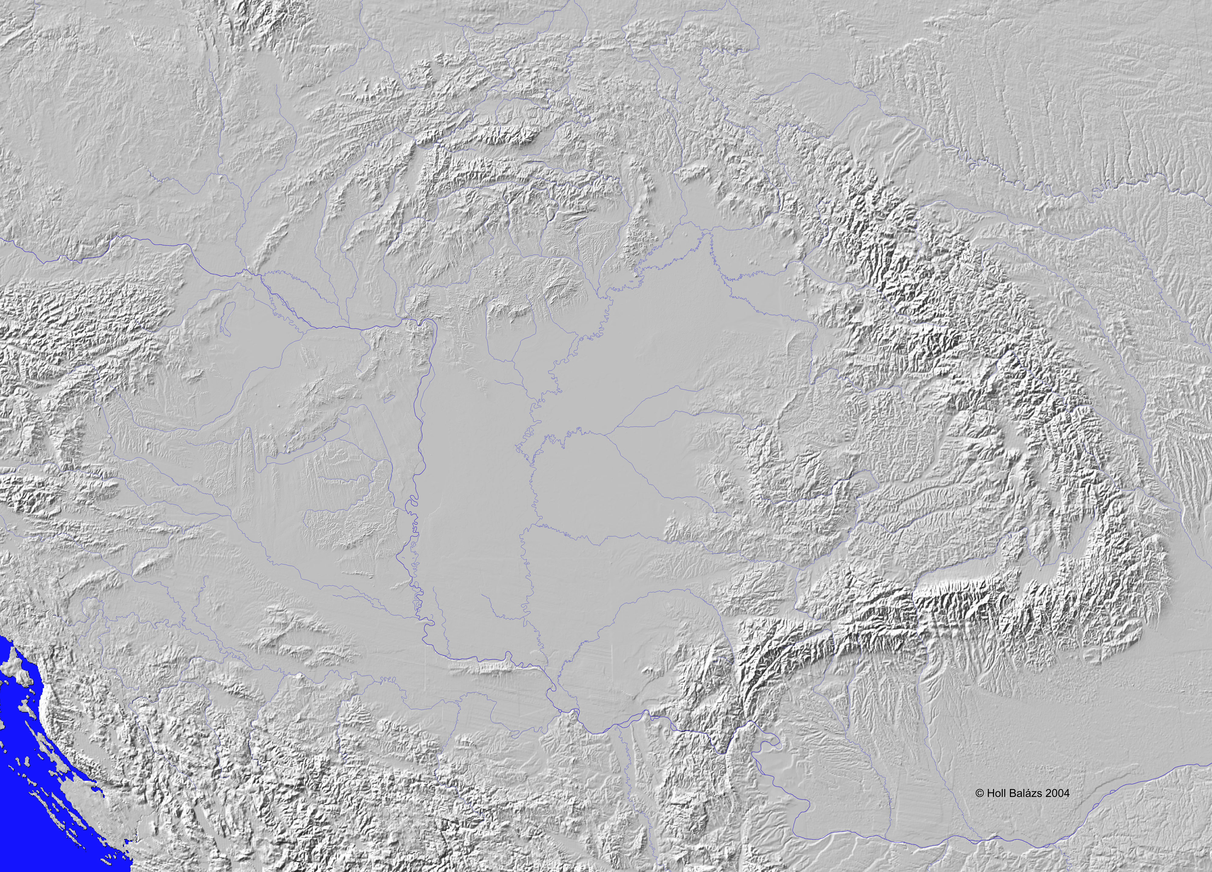
km2. jpg
click on the image to get/download full image (about 4 Mbyte)

km3. jpg
click on the image to get/download full image (about 1 Mbyte)
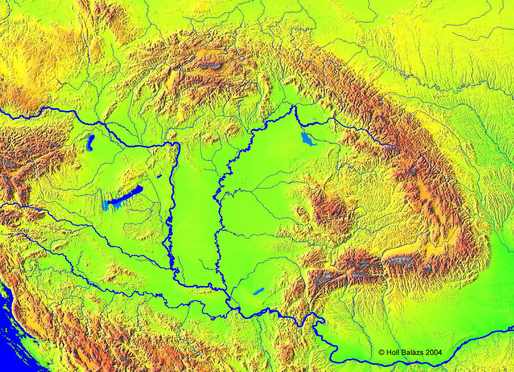
mo.jpg
click on the image to get/download full image (about 4 Mbyte)
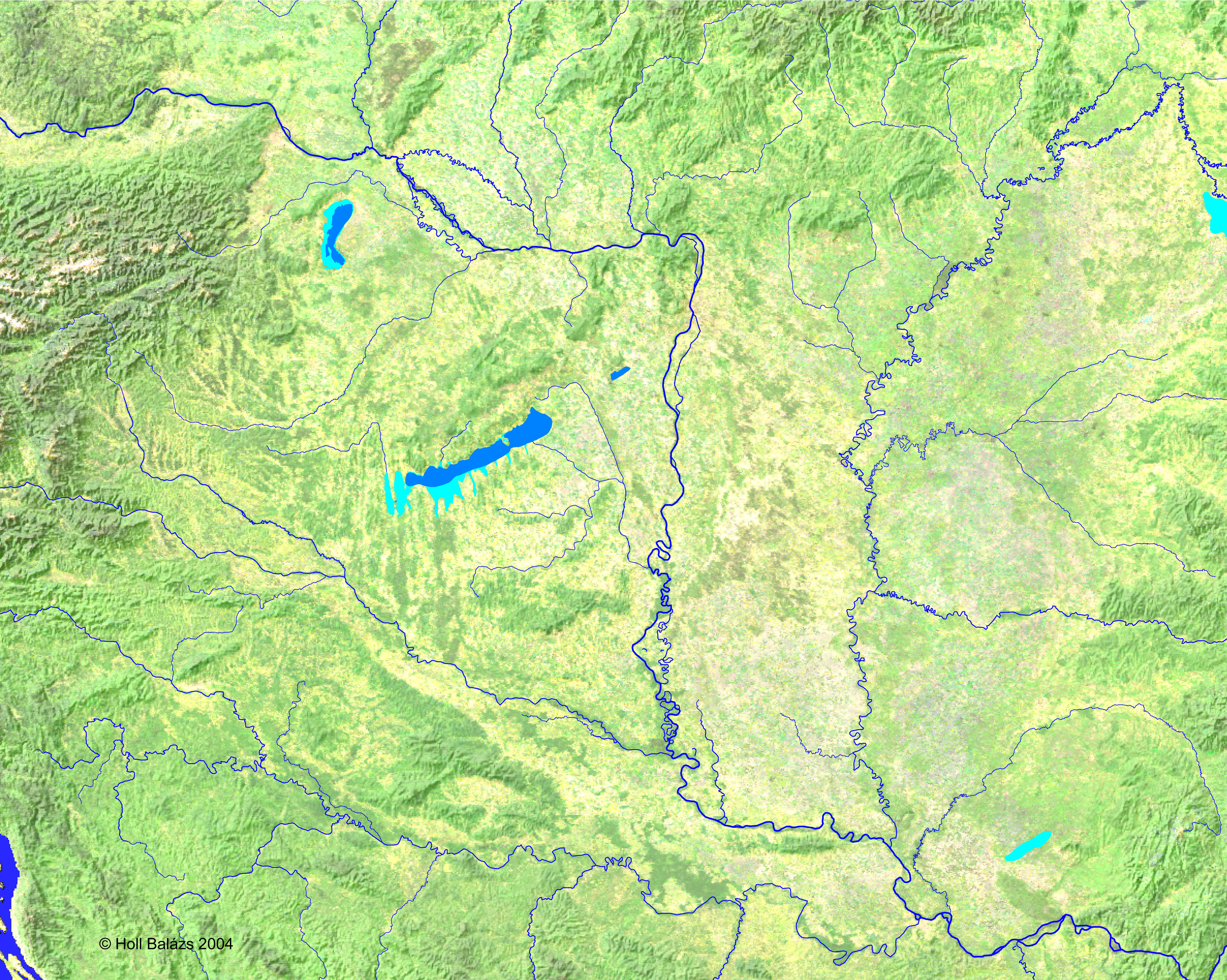
mo2.jpg
click on the image to get/download full image (about 4 Mbyte)